Wednesday, 17th April, 2013.
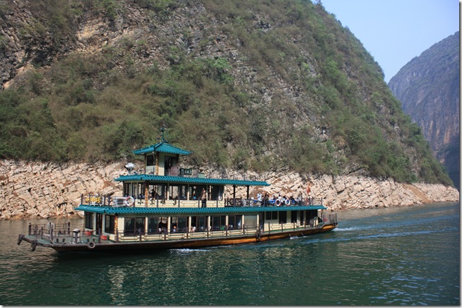
In the rebuilt town of Wūshān, we boarded a boat like this one to travel up the Daning River, a large tributary of the Yangtze, through the region of 25km known as the Lesser Three Gorges.
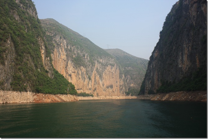
An ancient Chinese saying claims that 'the Lesser Three Gorges of the Daning River are not as beautiful as the Three Gorges of the Yangtze River, they are more beautiful'.
Since the building of the Three Gorges Dam has raised the water level in this area by around 80 metres, the gorges do not tower as far above the water as they used to. However, it still appeared quite spectacular to us.
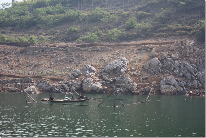
The many farmers who lived along the river valley have been forced uphill, to where the land is steeper and less fertile. Many have had to move to cities or farms in other parts of the country. This is a small fish farm.
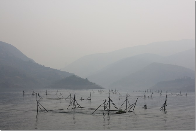
More fish farms.
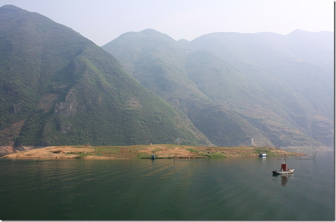
This small island is only above the water level for several months of the year, so its fertile soil is farmed intensively while it is available.
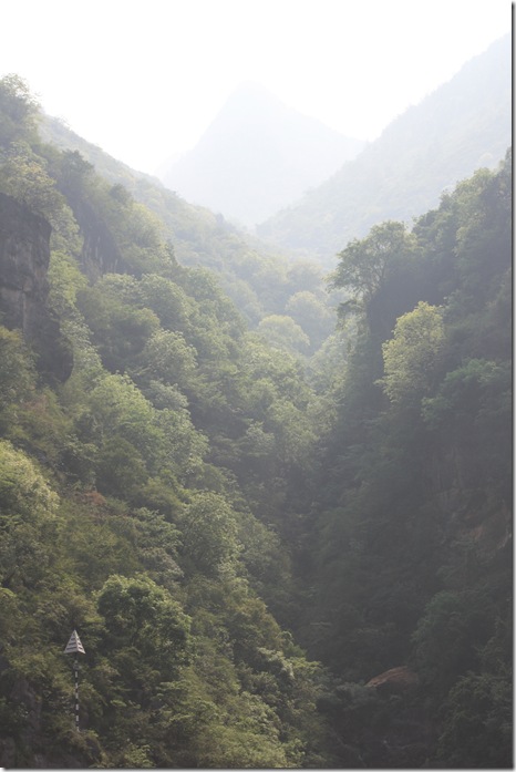
“Mist–wreathed mountains along Daning River are covered with lush green flourishing vegetation, much of which is one of the specialties of Wushan County, called Cloud and Mist Tea. This kind of tea is required to be planted on cliffs in a cloudy and misty environment. There are often troops of monkeys appearing at the river bank and on the trees of the mountains.” From some travel blurb.
We didn’t see even one monkey, let alone troops of them.
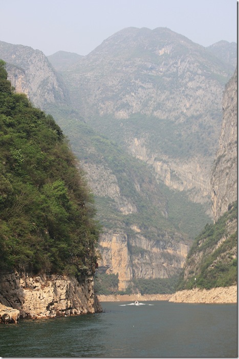
The three gorges are Longmen ("Dragon Gate") Gorge; Dawu ("Misty") Gorge; and Dicui ("Emerald") Gorge.
I never did work out which was which, but I’d say we’re in one of them now, possibly Dawu ("Misty") Gorge.
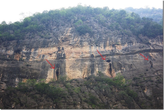
The Lesser Three Gorges area, and Dawu ("Misty") Gorge in particular, are renowned for many Hanging Coffins, which contain the skeletons of members of the ancient Ba minority group, dating back to around 770 BC-221 BC.
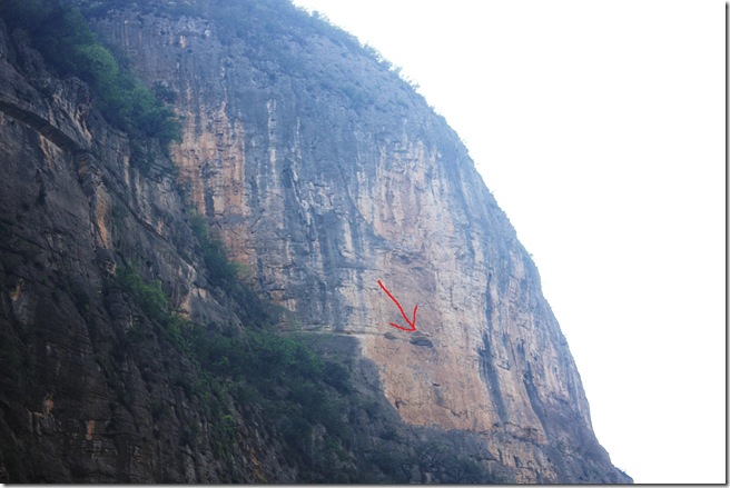
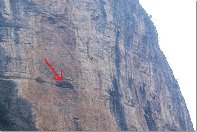
Detail of picture above.
The hanging coffins are suspended in natural or man-made caves or perched on rocky projections high up in the cliffs. The coffins are made of wood, which kept the rainwater out and protected the coffin contents from the sun.
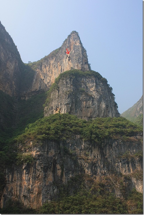
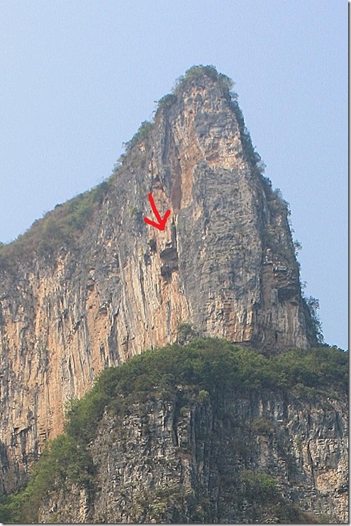
Detail of picture above.
How the heavy coffins were placed in seemingly inaccessible areas on the cliff-sides still remains a mystery. The higher up the cliff you were, the better off you were, and the more your family thought of you.
The hanging coffins were pointed out to us by our guides, but from where we were at water level, they were hard to see. I have drawn arrows to what I think were coffins, but I could be wrong.
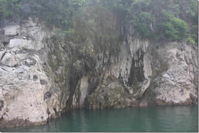
Stalactites can be seen suspended below the roofs of caves.
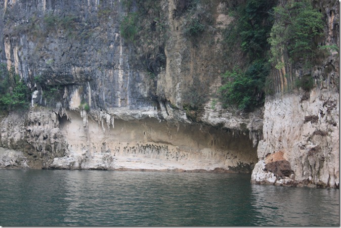
Stalactites and other strange rock formations have traditionally been given delicious names, such as Dragon In and Tiger Out, Fairy Throwing a Silk Ball, Monkey Fishing in the Air, Piggy Worshipping the Goddess of Mercy……
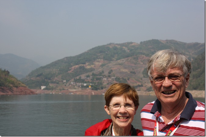
Where the land is more level and arable is a small village.
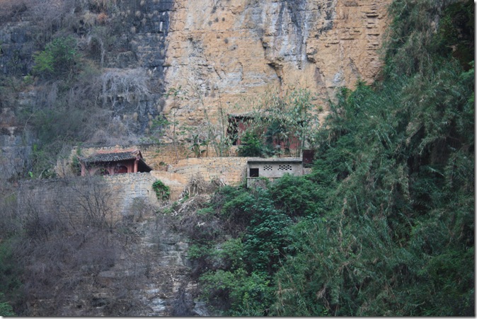
Clinging to the cliff face.
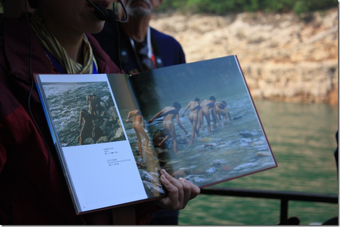
Our guide showed us pictures of the trackers, who used to haul boats upstream through the shallows (when there were shallows). Clothes would only slow them down, or chafe, so were not used.
This work was horribly dangerous, and many died.

Right up until the dam became operational, trackers still pulled sampans through the shallows, but more for the sake of tourists than commercially. This picture was taken in 2009, and you can see that the trackers have now been issued with natty matching uniforms, so as not to get the tourists too excited. Even so, there must be easier ways to earn a living.
Now, with the water level about 80 metres higher than before, there are no shallows, so no trackers. Picture from http://mongolchine.blogspot.com.au/2009/09/boat-trackers-of-shennong-stream.html
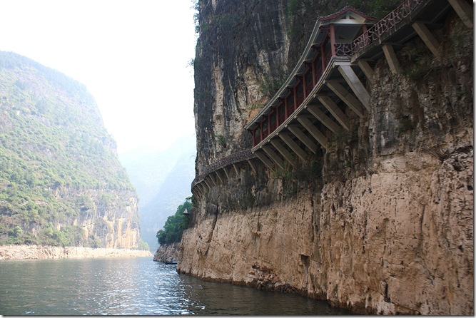
Before the dam was built, along the gorge face was a plank road (a pathway built along the cliff wall by means of holes bored into the cliff face, into which were inserted beams which were then "clothed" with planks)
I assume this is a new road or path above, built above the new water level, on the same principle.
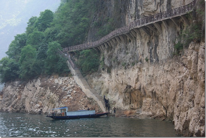
Accessing the new structure from the water.
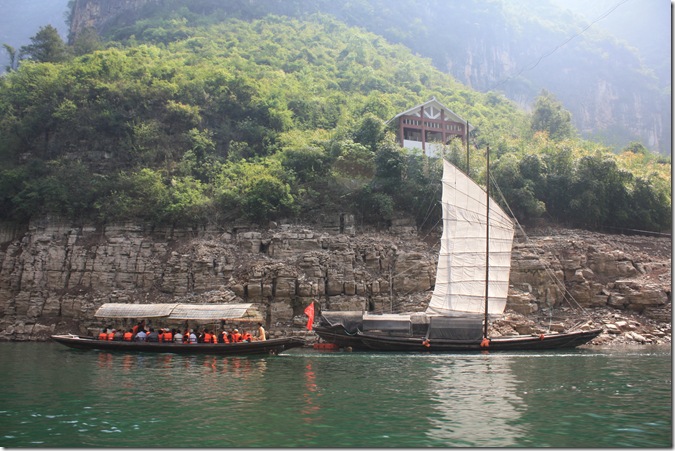
At the end of Dicui Gorge, we left our sightseeing boat and boarded a number of mat-covered (motorised)sampans to continue up a tributary of the Daning River, the Madu River. The Madu River contains three gorges smaller than the Lesser Three Gorges, called the Mini Three Gorges, namely Sancheng Gorge, Qinwang Gorge and Changtan Gorge.
If you have been keeping score, you will have observed that we have moved from the Three Gorges (Yangtze River) to the Lesser Three Gorges (Daning River) and now to the Mini Three Gorges (Madu River). I hoped there wasn’t another level, or we’d be swimming.
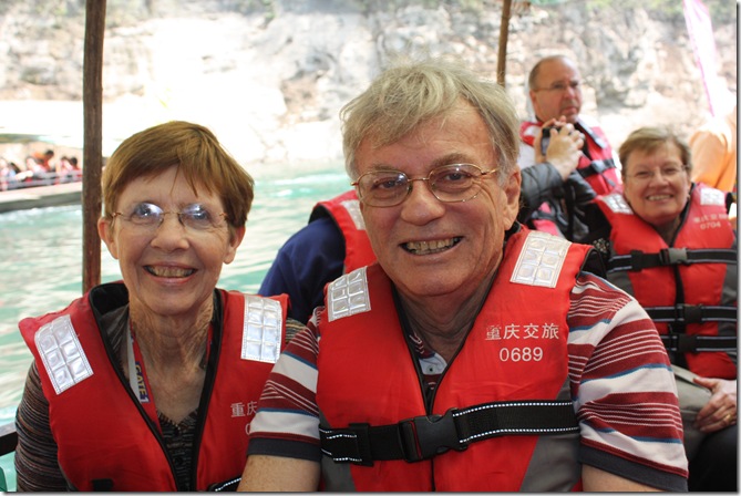
It was a bit disconcerting that we had to put on a life jackets to get into the sampan.
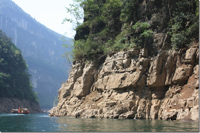
Off we go. The scenery was magnificent.
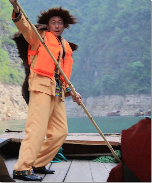
Sampans used to be propelled by the man at the front, with a bamboo pole. In this case, all the work was done by a man at the back, with the engine. This man at the front, in traditional costume, is just for show, for the tourists.
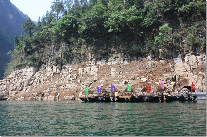
Although there were quite a few sampans buzzing up and down the river, it must have been a quiet day, as there were still some hopefully waiting.
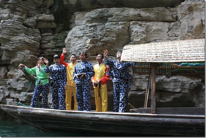
Now employed by the sampan company, a group of people who used to be farmers dressed up in national costume and sang amplified folksongs as each sampan went past. They live higher up the mountain.
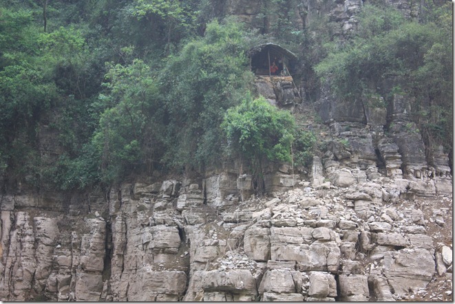
From a little hut on the side of the cliff came the sound of a traditional flute. I hope there were a few flute players to take turns.
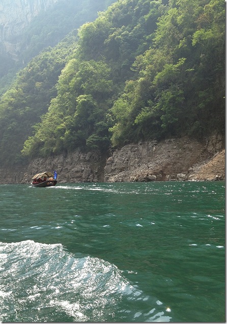
As the Great Firewall of China didn’t let me publish my blog when we were in China, I took the occasional picture on my phone to send home, such as this one. People at home were concerned that we had done our whole 3-day, 4-night Yangtze cruise on this boat.
Now that would be moving togetherness to a whole new level.
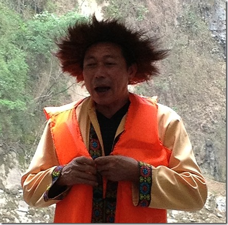
Then our show boatman sang a traditional love song.
Our sampan turned round, then we went back from the mini gorges to the lesser gorges back to our boat in the plain gorges, after a beautiful day.
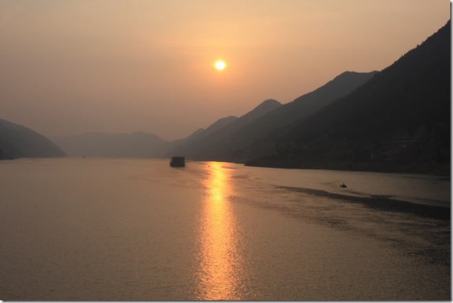
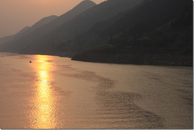
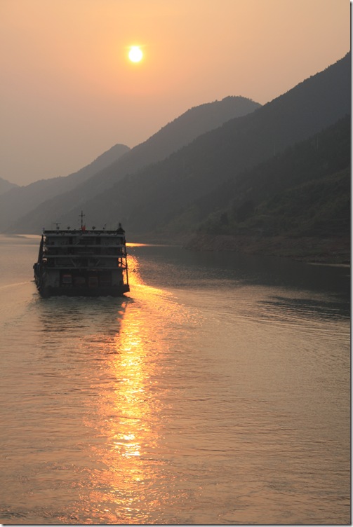
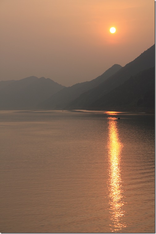
In time for happy hour and sunset on the Yangtze:


In the rebuilt town of Wūshān, we boarded a boat like this one to travel up the Daning River, a large tributary of the Yangtze, through the region of 25km known as the Lesser Three Gorges.

An ancient Chinese saying claims that 'the Lesser Three Gorges of the Daning River are not as beautiful as the Three Gorges of the Yangtze River, they are more beautiful'.
Since the building of the Three Gorges Dam has raised the water level in this area by around 80 metres, the gorges do not tower as far above the water as they used to. However, it still appeared quite spectacular to us.

The many farmers who lived along the river valley have been forced uphill, to where the land is steeper and less fertile. Many have had to move to cities or farms in other parts of the country. This is a small fish farm.

More fish farms.

This small island is only above the water level for several months of the year, so its fertile soil is farmed intensively while it is available.

“Mist–wreathed mountains along Daning River are covered with lush green flourishing vegetation, much of which is one of the specialties of Wushan County, called Cloud and Mist Tea. This kind of tea is required to be planted on cliffs in a cloudy and misty environment. There are often troops of monkeys appearing at the river bank and on the trees of the mountains.” From some travel blurb.
We didn’t see even one monkey, let alone troops of them.

The three gorges are Longmen ("Dragon Gate") Gorge; Dawu ("Misty") Gorge; and Dicui ("Emerald") Gorge.
I never did work out which was which, but I’d say we’re in one of them now, possibly Dawu ("Misty") Gorge.

The Lesser Three Gorges area, and Dawu ("Misty") Gorge in particular, are renowned for many Hanging Coffins, which contain the skeletons of members of the ancient Ba minority group, dating back to around 770 BC-221 BC.


Detail of picture above.
The hanging coffins are suspended in natural or man-made caves or perched on rocky projections high up in the cliffs. The coffins are made of wood, which kept the rainwater out and protected the coffin contents from the sun.


Detail of picture above.
How the heavy coffins were placed in seemingly inaccessible areas on the cliff-sides still remains a mystery. The higher up the cliff you were, the better off you were, and the more your family thought of you.
The hanging coffins were pointed out to us by our guides, but from where we were at water level, they were hard to see. I have drawn arrows to what I think were coffins, but I could be wrong.

Stalactites can be seen suspended below the roofs of caves.

Stalactites and other strange rock formations have traditionally been given delicious names, such as Dragon In and Tiger Out, Fairy Throwing a Silk Ball, Monkey Fishing in the Air, Piggy Worshipping the Goddess of Mercy……

Where the land is more level and arable is a small village.

Clinging to the cliff face.

Our guide showed us pictures of the trackers, who used to haul boats upstream through the shallows (when there were shallows). Clothes would only slow them down, or chafe, so were not used.
This work was horribly dangerous, and many died.
Right up until the dam became operational, trackers still pulled sampans through the shallows, but more for the sake of tourists than commercially. This picture was taken in 2009, and you can see that the trackers have now been issued with natty matching uniforms, so as not to get the tourists too excited. Even so, there must be easier ways to earn a living.
Now, with the water level about 80 metres higher than before, there are no shallows, so no trackers. Picture from http://mongolchine.blogspot.com.au/2009/09/boat-trackers-of-shennong-stream.html

Before the dam was built, along the gorge face was a plank road (a pathway built along the cliff wall by means of holes bored into the cliff face, into which were inserted beams which were then "clothed" with planks)
I assume this is a new road or path above, built above the new water level, on the same principle.

Accessing the new structure from the water.

At the end of Dicui Gorge, we left our sightseeing boat and boarded a number of mat-covered (motorised)sampans to continue up a tributary of the Daning River, the Madu River. The Madu River contains three gorges smaller than the Lesser Three Gorges, called the Mini Three Gorges, namely Sancheng Gorge, Qinwang Gorge and Changtan Gorge.
If you have been keeping score, you will have observed that we have moved from the Three Gorges (Yangtze River) to the Lesser Three Gorges (Daning River) and now to the Mini Three Gorges (Madu River). I hoped there wasn’t another level, or we’d be swimming.

It was a bit disconcerting that we had to put on a life jackets to get into the sampan.

Off we go. The scenery was magnificent.

Sampans used to be propelled by the man at the front, with a bamboo pole. In this case, all the work was done by a man at the back, with the engine. This man at the front, in traditional costume, is just for show, for the tourists.

Although there were quite a few sampans buzzing up and down the river, it must have been a quiet day, as there were still some hopefully waiting.

Now employed by the sampan company, a group of people who used to be farmers dressed up in national costume and sang amplified folksongs as each sampan went past. They live higher up the mountain.

From a little hut on the side of the cliff came the sound of a traditional flute. I hope there were a few flute players to take turns.

As the Great Firewall of China didn’t let me publish my blog when we were in China, I took the occasional picture on my phone to send home, such as this one. People at home were concerned that we had done our whole 3-day, 4-night Yangtze cruise on this boat.
Now that would be moving togetherness to a whole new level.

Then our show boatman sang a traditional love song.
Our sampan turned round, then we went back from the mini gorges to the lesser gorges back to our boat in the plain gorges, after a beautiful day.
In time for happy hour and sunset on the Yangtze:


Through the night, we passed the 2,300 year old town of Fengjie. In 2002, much of the town was demolished to make way for the Three Gorges Dam. Picture from
We also passed through Wanzhou, where this bridge is the longest span of the Yangtze River upstream of the Three Gorges Dam.
Wanzhou is at about the halfway point between Chongqing and Yichang, and has been an important river port for 1,900 years. Since the construction of Three Gorges Dam, when the water level of the Yangtze River's Wanzhou section reached a height of 175.1 meters in June 2003, the southern half of Wanzhou has been submerged underwater, while a new city centre that offers improved infrastructure for immigrants has been founded to the north of the old city centre.
For a picture of the southern half of Wanzhou being demolished, please see http://www.edwardburtynsky.com/WORKS/Three_Gorges_Dam/Three_Gorges.html

No comments:
Post a Comment